Part of the Waitukubuli National Trail Journal
Previous entry: Segment 3 – Bellevue Chopin to Wotten Waven
Journal entry for November 27 and 28, 2012
Approximate Distance/Time Hiked: 18.7 km in 8h 35m
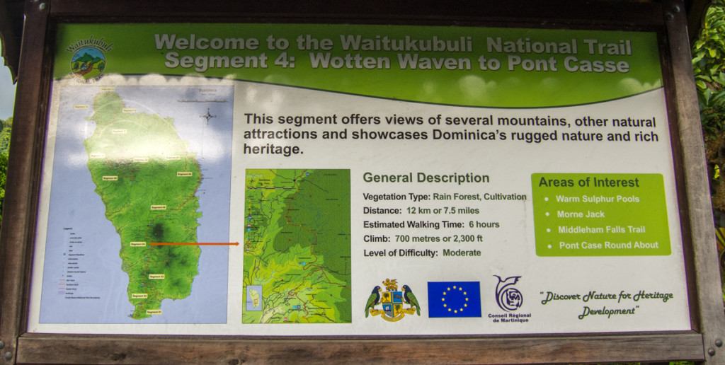
We were still looking for a place to camp as we started Segment 4 at around 5pm. We left the town of Wotten Waven and headed north on the paved road toward Laudat.
We soon crossed a bridge and arrived at a little roadside restaurant called The Corner Bar. Natty, the owner, saw us walk by and asked us if we were looking for a place to camp. He has a small “zoo” at the back of the restaurant and told us that we could camp there for EC$10 per person. Seemed reasonable to us. He guided to the his zoo where he had various local animals, including rabbits, turtles, guinea pigs, and a boa constrictor. Not a lot of flat surfaces we could set our tents, but we managed.
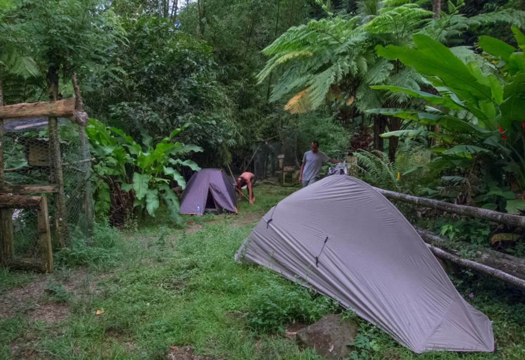
We washed ourselves a little in the river before heading to the tables at the restaurant. Greg and Ervé cooked food with their stove. Since I had been surviving on just cookies and the occasional roadside snack, I was trilled to let Natty cook me some fried chicken and french fries for EC$10. Natty is a very bright and bright and resourceful guy. He told us that he is currently constructing a cottage and campground across the road from his restaurant. He also lamented the state of politics in Dominica and the decline in tourist spending.
Back in the tent, I wore my earplugs to mask the sounds of the water from the river next to us. I slept pretty soundly and didn’t even hear the 7am alarm the next morning.
When I got out of the tent, Greg and Ervé were already packed up and ready to leave. Since they were not planning on visiting Trafalgar and Middleham Falls as I was, they went ahead first. I took my sweet time and rejoined the trail at around 10am.
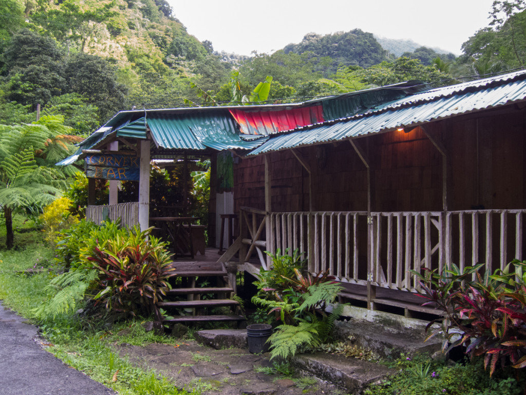
Trafalgar Falls is a short but steep detour from the WNT. Since it’s one of the main tourist spots on the island, there’s a nice paved road that goes up to the entrance. The are a lot of visitors here, both locals and tourists alike. The falls require a entrance fee, but since I had purchased the weekly Dominica National Pass a couple of days ago, I was able to get in with that.
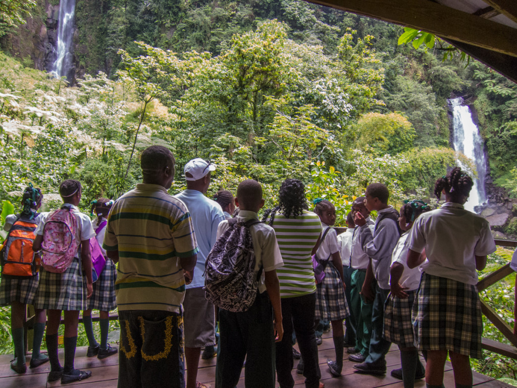
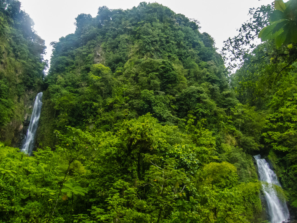
There’s a well maintained path leading up to a wooden viewing platform, after that there’s a warning sign for those that want to get closer to the falls for a better vantage point.
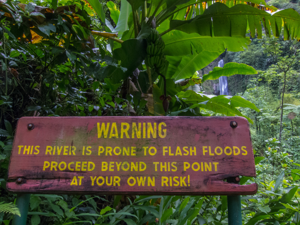
I took the risk and after boulder hopping for a bit, I found a spot to snap a few nice pictures.
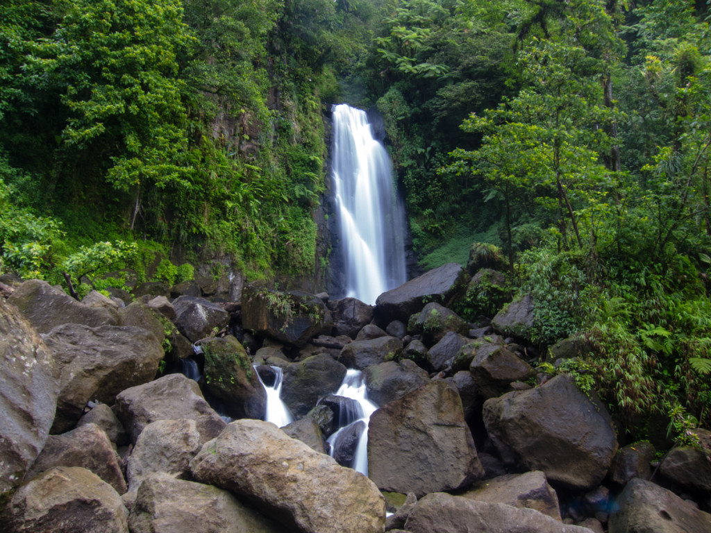
On the way out, I stopped at the small restaurant by the entrance and got me 3 bakes for EC$12.50. A total rip off but I was hungry.
After rejoining the WNT, I missed a turn in the town of Trafalgar but realized soon enough and didn’t have to backtrack too much. A tough 600-meter ascent followed, up a dirt road. The trail would sometimes wrap around small farm cottages. It eventually lead to a paved road in the village of Laudat. The paved road then lead to a right turn towards Middleham Falls. By then it had rained on and off 3 times already, and I was getting tired of putting my rain jacket on and off. I actually wore it just to protect my camera from the water, as I wouldn’t have minded getting a little wet since it would have made the heat and humidity a little more tolerable.
The trail up to Middleham Falls is very well constructed and maintained up to the last 100 meters or so.
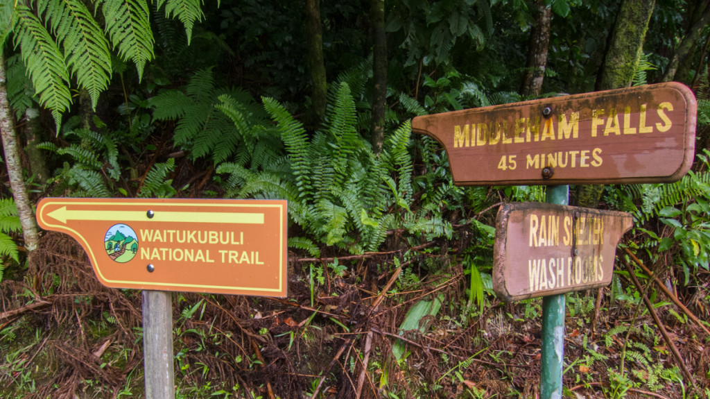
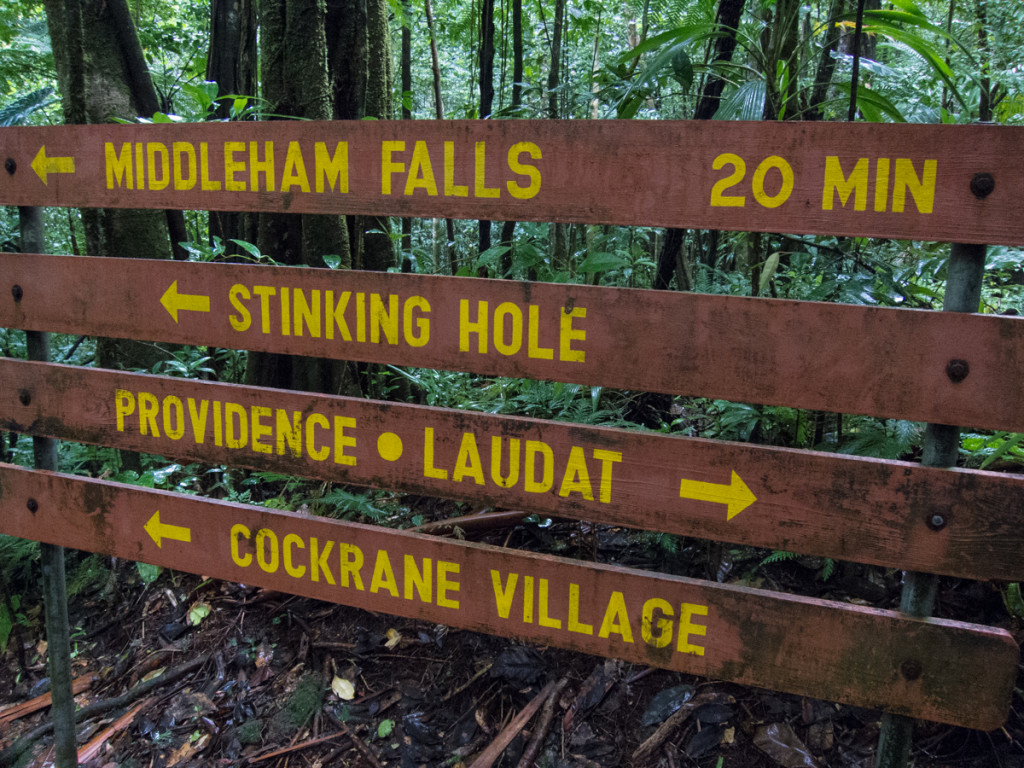
It then requires some easy but slippery boulder hopping to reach the viewing platform. It was also a bit hard to find the path in some parts. I really can’t recommend this last part to beginner-level hikers. The views of the falls were nice though.
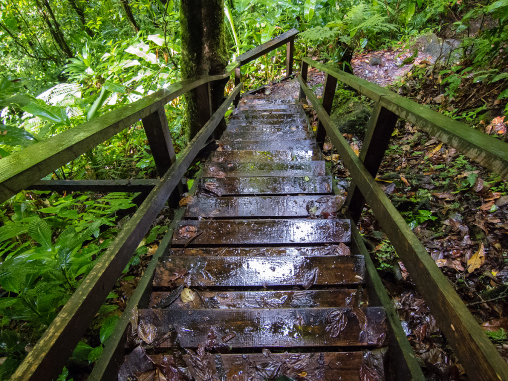
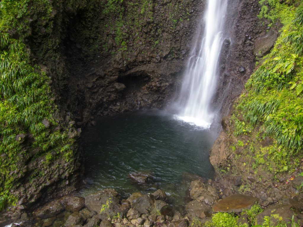
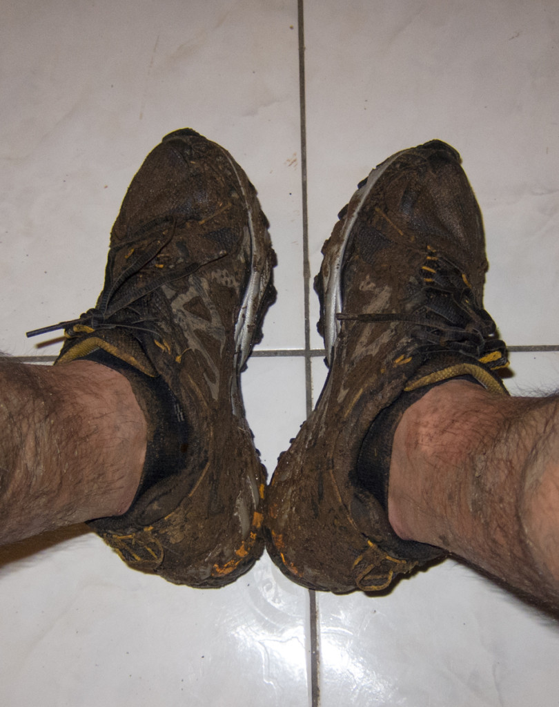
I made my way back to rejoin the WNT, which was very muddy after the rain. I don’t like to tie my shoes too tight, and at one point one of my shoes got stuck in the mud, while that leg continued the stride. I couldn’t stop my momentum and landed into the mud again with just my sock. It then took a lot of force just to pull the stuck shoe out. The following couple of kilometers were actually very pleasant. Still a little muddy but fun nonetheless.
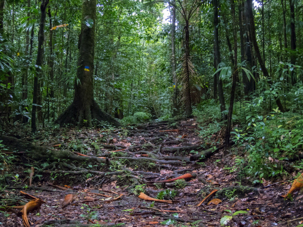
There were a couple of stream crossings with no bridges. I think bolder hopping is dangerous here since the rocks are wet and slippery. My shoes were already covered with mud inside and out, so I just simply walked through the water, which wasn’t high.
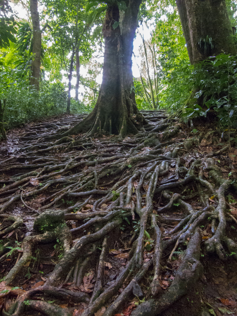
The last 3 kilometers or so were miserable. The worst stretch of hiking I’d ever done up to that point. Large tree roots, slippery mud, steep terrain everywhere. Three sets of rope are installed there to supposedly help you but since they were so loose, they were actually counterproductive. You couldn’t trust that they would hold you in a slip, since you’d just end up swinging left and right. It was during one of these slips that ended up hitting my face against a rock. It gave me a slight headache for a minute or two, but It was OK afterwards.
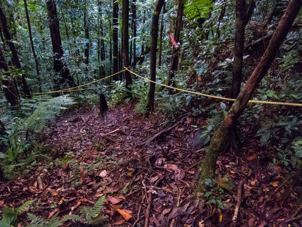
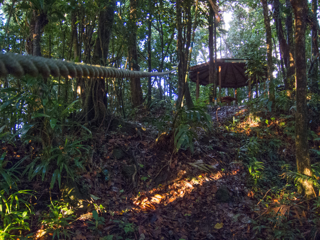
My pace was slow. I would check the GPS, then hike for 20 minutes, then check again and realize that I had only advanced 200 meters. In my effort to pick up my pace, I kept tripping on rocks and tree roots.
In the middle of all this frustration, I had an “hiking existential” moment. I started asking myself if I truly enjoyed hiking, or if I only liked the challenge part of it. Was I traveling to remote parts of the world just to prove to myself that I could finish these hikes? Was this the best way to spend my valuable vacation time?
By then it was already past 5pm. The sun was going down fast. There was only about 30 minutes between the time I realized that it might get dark soon to the time it got pitch dark.
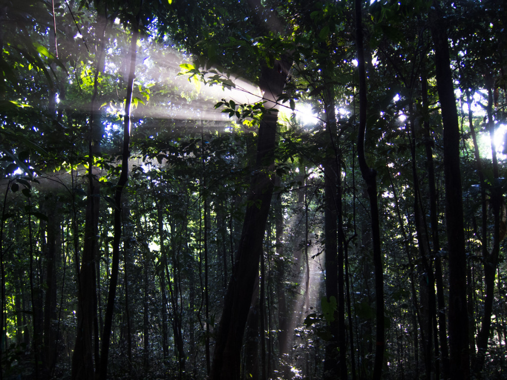
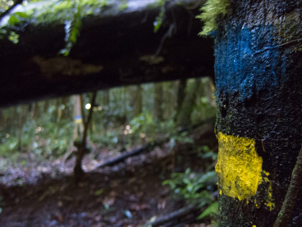
The forest came alive in the dark. Noises everywhere from birds, insects and who knows what else. I was more annoyed than spooked out. Luckily though, whoever painted the trail markers on the trees did a very good job. The markers are reflective and I was able to find my way by using my headlamp. I would spot a marker, make my way there, and it wouldn’t take long until I found the next marker some 10 to 20 meters away. All of this in absolute darkness. I told myself to remain calm and trust my instincts to find my way out.
After about 20 minutes of hiking in the dark, I started to hear the sound of cars. I knew then that I was close to Pont Casse, the end of Segment 4, which I reached after another 10 minutes. Once I reached the road that traverses the island from east to west, I realized that there was nothing there except a bus station. After a short wait, I flagged down a minibus going west in the direction of Castle Bruce. I was planning to stay there for the night and make my way back to Pont Casse the next day to resume Segment 5.
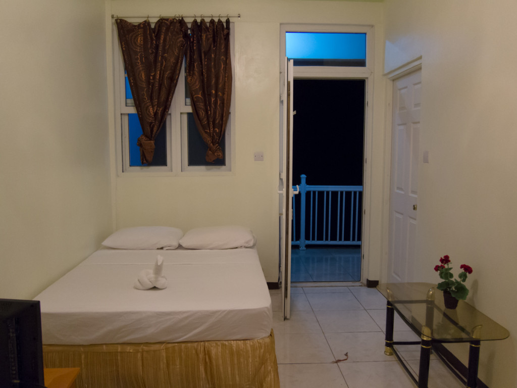
We arrived at Castle Bruce after a 30 minute ride. I saw a sign for Domcan’s Guesthouse (which is where I intended to go) and asked the bus driver to drop me off. After asking for directions from a nice lady, I realized that I was still 1.5 km away. She suggested that I instead check out a hotel just a couple of blocks down the road. I was actually walking on Segment 5 of the trail and it wasn’t long before I found Sea Breeze Inn. The place looked very nice, modern and clean. I expected an outrageous price since accommodation is so expensive in Dominica, but the price of US$70 was reasonable compared to the places I had previously stayed in.
After dinner in the hotel, I washed everything in the shower including my shoes. The room had a balcony with great views of the ocean and the full moon that night. I liked the place so much that I decided that I would stay one more night. The following day I would take the bus back to Pont Casse, and do Segment 5 which passes by this hotel. Since I’d be staying at the same place, I could leave my big backpack with my tent and sleeping bag in it, and hike only with the small day pack. It would be so convenient, but the completionist in me would not let me skip Segment 5.
All in all, although the waterfalls were beautiful, this was my worst day of hiking, ever. I fell about 5 times. On the West Coast Trail in Canada, which is also notorious for it’s difficulty, I only fell once in 6 days. I also started to realize that the segment distances on the official trailhead signs were very inaccurate. It listed 12 km for Segment 4, but I did 18.7 km according to my GPS. The two detours to the waterfalls were short and in no way required an extra 6.7 km. I was glad though that I was able to end the day with a nice shower in very comfortable hotel room.
Next entry: Segment 5 – Pont Casse to Castle Bruce
Part of the Waitukubuli National Trail Journal
