- John Muir Trail Date Set, Permit Reserved
- John Muir Trail Planning
- John Muir Trail Packing List
- John Muir Trail Journal
- John Muir Trail Day 1: Yosemite Valley to Clouds Rest Junction
- John Muir Trail Day 2: Clouds Rest Junction to Half Dome to Sunrise Creek Crossing
- John Muir Trail Day 3: Sunrise Creek Crossing to Lower Cathedral Lake
- John Muir Trail Day 4: Lower Cathedral Lake to Tuolumne Meadows
- John Muir Trail Day 5: Tuolumne Meadows to Donohue Pass
- John Muir Trail Day 6: Donohue Pass to Thousand Island Lake
- John Muir Trail Day 7: Thousand Island Lake to Rosalie Lake
- John Muir Trail Day 8: Rosalie Lake to Reds Meadow
- John Muir Trail Day 9: Reds Meadow to Deer Creek
- John Muir Trail Day 10: Deer Creek to Cascade Valley Junction
- John Muir Trail Day 11: Cascade Valley Junction to Silver Pass to Vermilion Valley Resort
- John Muir Trail Day 12: Vermilion Valley Resort
- John Muir Trail Day 13: Vermilion Valley Resort to Marie Lake
- John Muir Trail Day 14: Marie Lake to Selden Pass to Muir Trail Ranch
- John Muir Trail Day 15: Muir Trail Ranch to McClure Meadow
- John Muir Trail Day 16: McClure Meadow to Muir Pass to Lake West of Helen Lake
- John Muir Trail Day 17: Lake West of Helen Lake to Deer Meadow
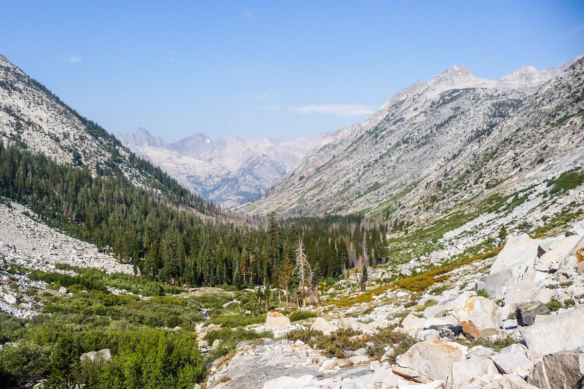
- John Muir Trail Day 18: Deer Meadow to Mather Pass to Main South Fork Kings Crossing
- John Muir Trail Day 19: Main South Fork Kings Crossing to Pinchot Pass to Woods Creek
- John Muir Trail Day 20: Woods Creek to Glen Pass to Vidette Meadow
- John Muir Trail Day 21: Vidette Meadow to Forester Pass to Bighorn Plateau
- John Muir Trail Day 22: Bighorn Plateau to Guitar Lake
- John Muir Trail Day 23: Guitar Lake to Mount Whitney to Whitney Portal
- John Muir Trail: Post Trip Thoughts
Journal entry for September 3, 2009
Approximate distance hiked: 12.3 miles, 19.8 km
I woke up to good news: the rain had stopped. Apparently it didn’t rain that much at all. There was also almost no condensation inside the tent, which was strange. I spend a ridiculous half an hour cutting the moleskin for the blister on foot. The knife I had bought a few days earlier was pretty much useless.
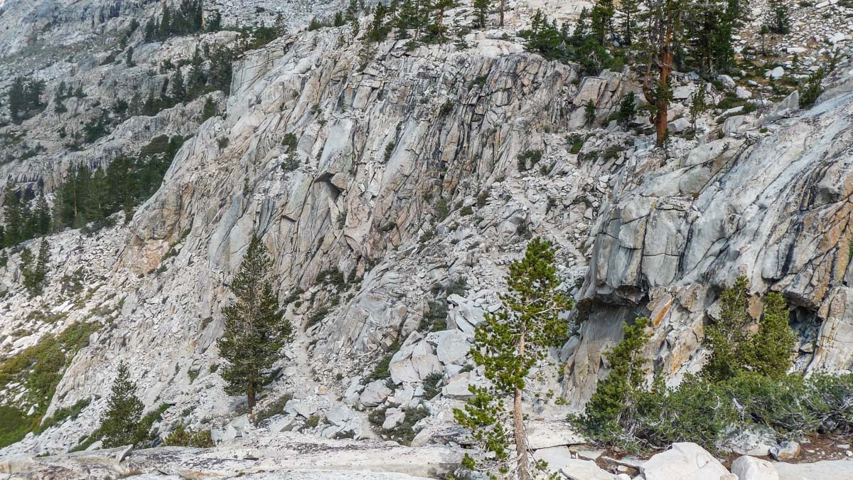
Once I joined the trail, it started to climb up immediately. I saw two deer right away. I guess that’s why they call it Deer Meadow. I then encountered a few switchbacks which at the time made me believe were the famous Golden Staircase. I had been looking forward to it since quite a few hikers had mentioned how impressive it was. These switchbacks were not impressive at all, I thought. I continued on and was getting closer and closer to an extremely tall and steep wall of rock. I was starting to wonder how I was going to go around it since on one side was Palisade Creek and on the other was a huge mountain. I wondered this until I saw the real Golden Staircase, switchbacking up the face of the wall. I was very impressed now. The engineering and the amount of work it must have taken to build it were amazing.

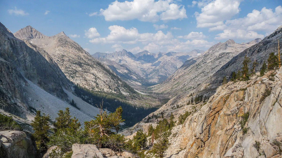
For the first one the JMT, my legs were feeling the climb. Before this point, when I got tired it was mostly from running out air, but not muscle fatigue. The following next 5 miles to Mather Pass seemed very long to me.

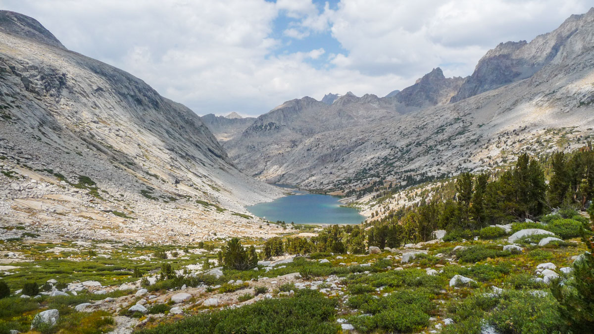
I met a older couple doing a 3 day hike. The lady told me that her husband was stopping at every lake to fish. I found a nice spot at Lower Palisade Lake to eat lunch before moving on.

The final ascent to Mather Pass (12,100 ft, 3,688 m) was very rocky. I had to watch each step very carefully to avoid spraining an ankle. Since I miscalculated and didn’t bring enough water, I had to ration it on the way up. I finally hit the pass around 2pm.
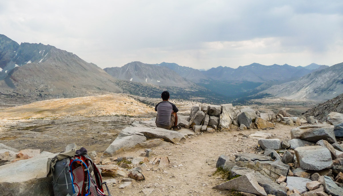
I stayed on top of the pass for a while, enjoying the view, until I fell a few drops of rain fell. I scrambled and started racing down, but it turned out to be a false alarm. The switchbacks immediately after the pass were very rocky too, but after a while the trail became very smooth and enjoyable. I stopped around 4pm for a snack and when I stood up again, my ankles were pretty sore.
I arrived at Main South Fork Kings crossing, my intended camping site, around 5pm. Lots of streams and rivers in this area. Since it was still early, I did some laundry and washed my socks. It took me a long while to get them somewhat clean, so much dust were collected in them. I spotted 4 other people camping in the area but they were kind of far so I didn’t make an effort to go talk to them. All day this day, I had a numb feeling on both of my big toes. I later found out that it wasn’t an uncommon thing to happen in longer hikes.