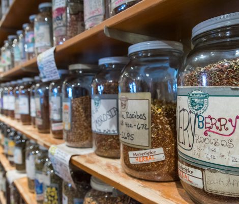
We visited a couple of iconic places in Seattle such as Pike Place Market and the REI flagship store. We also ate lots of food we don’t get to enjoy while camping.
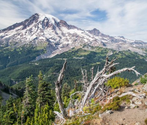
Western USA Road Trip: Mount Rainier National Park
Our road trip continues on in the Pacific Northwest with the national park named after this famous mountain. We stayed in a great campground, and enjoyed views of Mount Rainier from every angle.

Western USA Road Trip: Olympic National Park
A fast paced 3-day visit to this huge National Park with a wide variety of landscapes. We saw rain forests, waterfalls, rivers, lakes, wild beaches, and mountains.
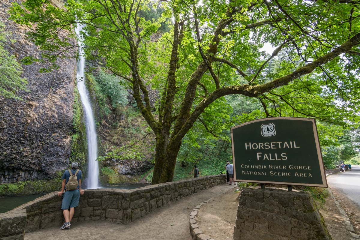
Western USA Road Trip: Waterfalls in Oregon
We continued on to Northern Oregon, visiting Portland and the impressive falls on the Columbia Gorge Scenic Highway.
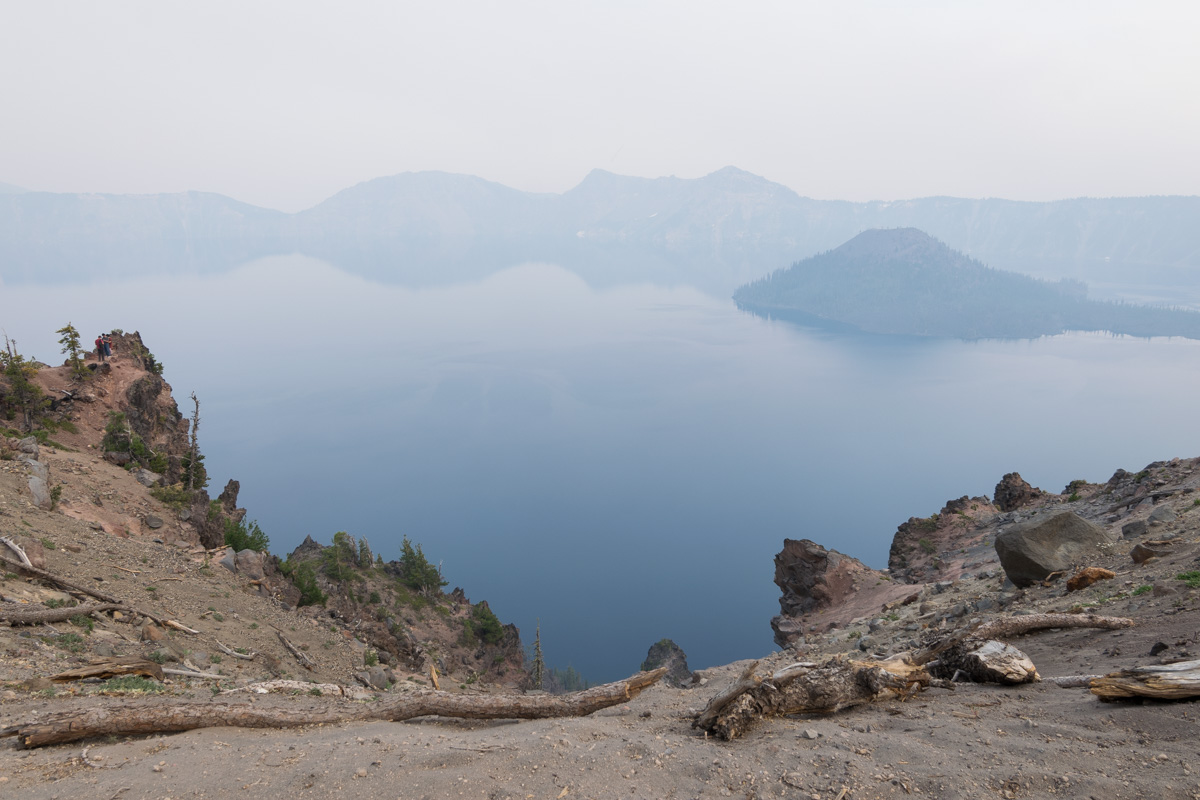
Western USA Road Trip: Crater Lake National Park
A disappointing visit to this National Park, which on that day was covered with smoke from a wildfire, blocking the view of its beautiful lake.
