Looking back, this was my favorite day of the entire hike, mainly because of Forester Pass and Bighorn Plateau.
John Muir Trail Day 20: Woods Creek to Glen Pass to Vidette Meadow
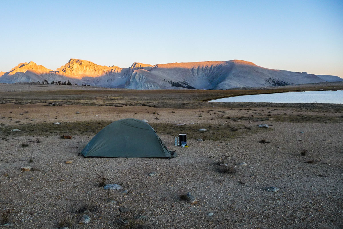
I’d been wanting to take a dip in one of the lakes for the last few days but the weather had been crappy. This day was perfect though, with not one single cloud in the sky.
John Muir Trail Day 19: Main South Fork Kings Crossing to Pinchot Pass to Woods Creek
It took me 2 and 1/2 hours since the moment I got up to when I hit the trail after 10am. I was on vacation, so I wanted to sleep well and not feel always rushed. As soon as I started hiking, I heard a horse pack coming up behind me.
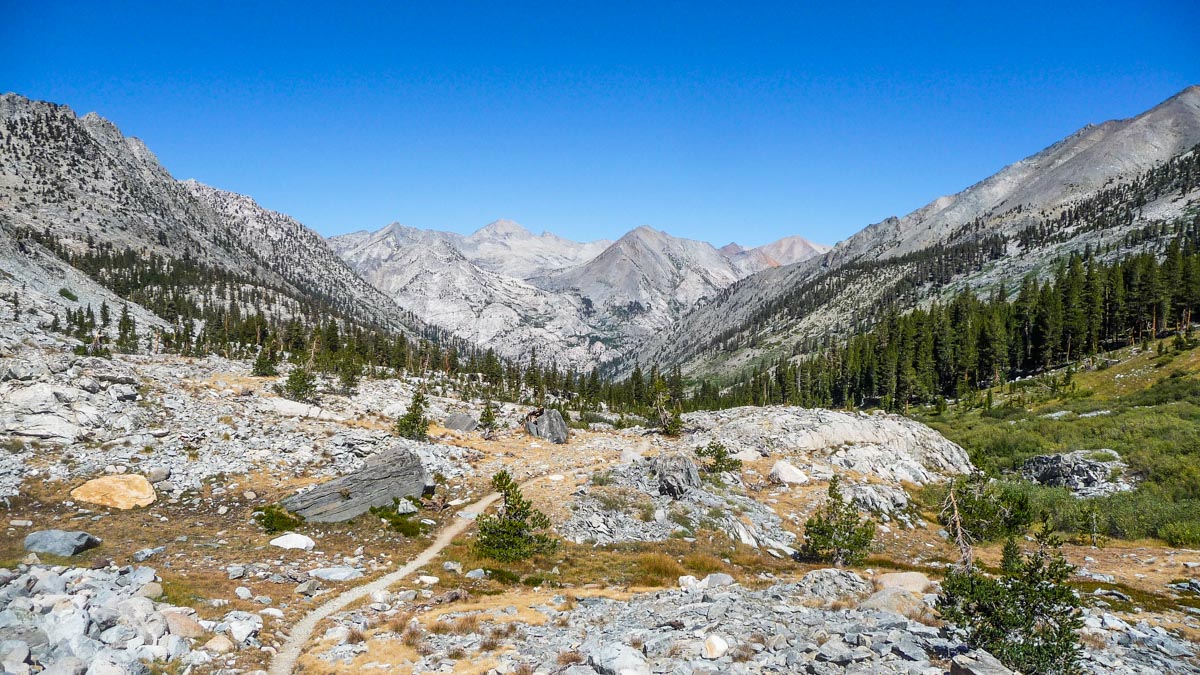
John Muir Trail Day 18: Deer Meadow to Mather Pass to Main South Fork Kings Crossing
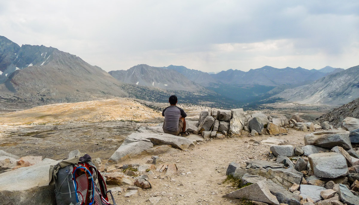
I enjoying the view at the top of the pass until I fell a few drops of rain fell. I scrambled and started racing down, but it turned out to be a false alarm.

John Muir Trail Day 17: Lake West of Helen Lake to Deer Meadow
A day with no mayor climbs saw me still struggle a little bit with the weight of my backpack. I also said goodbye to a lovely couple.
